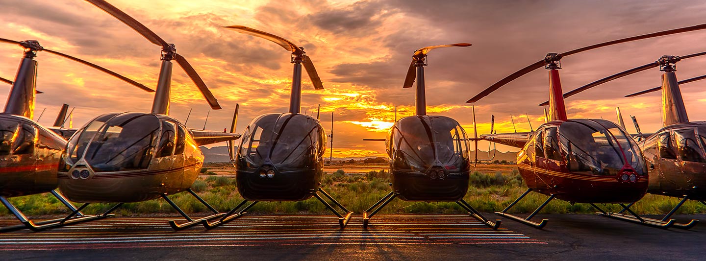
Precision Aerial Data, Photography & Cinematography in Virginia Beach
Unlocking Aerial Perspectives in Virginia
For comprehensive aerial data acquisition across Virginia, including critical infrastructure inspections or environmental assessments, Virginia Beach Helicopter Charters delivers unparalleled precision. Our capabilities encompass advanced magnetometer and electromagnetic surveys, high-resolution LiDAR, and detailed GIS mapping, leveraging the helicopter's unique low-altitude flight and stable hover characteristics. Beyond detailed surveying, we specialize in high-definition aerial cinematography and photography services, offering access to cutting-edge camera platforms and even aircraft modifications for specialized handheld operations. This versatility ensures superior data integrity and visual content for diverse applications across the Mid-Atlantic region, providing tailored solutions that exceed project specifications.
Aerial
Surveys
LiDAR, GIS Maps, FLIR, HD Video & More
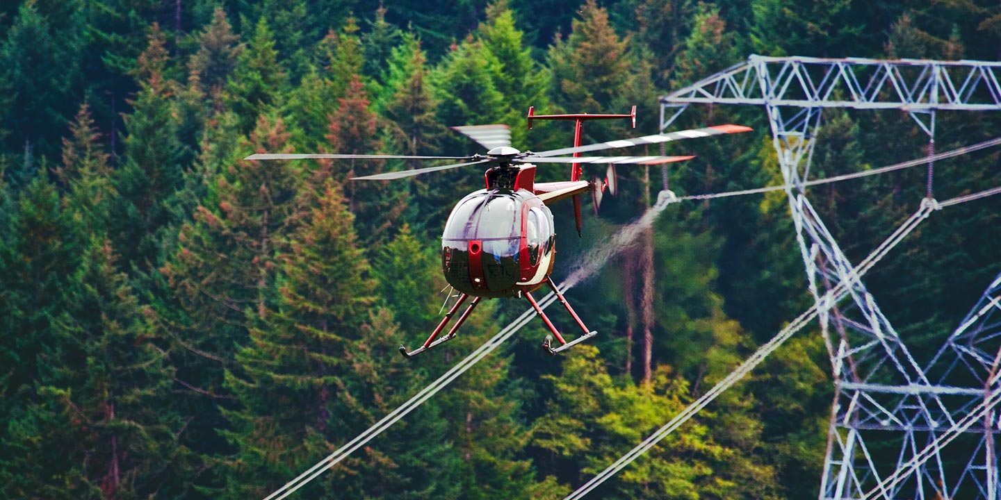
Virginia Beach Helicopter Charters provides essential aerial solutions for critical infrastructure. For pipeline surveys, right-of-way inspections, or transmission line patrols across Virginia, we provision the optimal rotorcraft. Equipped with specialized sensors, these missions ensure precise data acquisition for anomaly detection and preventative maintenance, safeguarding operational integrity and asset longevity efficiently.
High Tech Results
The Top Pilots in Virginia, Today's Technology... Maximum Results.
Call 1-866-826-4826 Now!
Virginia Beach Helicopter Charters provides the tools needed to complete your land surveys, utilizing the right equipment to provide the aerial photos that are often needed.
Effective aerial surveying streamlines critical commercial projects, from precise right-of-way and site inspections to comprehensive topographical data acquisition and high-definition photographic documentation across Virginia. Helicopter surveys offer an unparalleled vantage point for meticulous inspection of the Commonwealth's diverse terrain, enabling swift detection of pipeline anomalies, assessment of transmission line integrity, and detailed property evaluations. Virginia Beach Helicopter Charters specializes in developing bespoke photographic and remote sensing operations, meticulously custom-fitted to maximize both technical efficacy and financial efficiency, delivering superior actionable insights and verifiable results for your enterprise.
The inherent maneuverability of helicopters makes them the indispensable platform for precision aerial surveying. Unlike fixed-wing aircraft, which are restricted by FAA regulations to higher minimum altitudes, helicopters can operate at significantly lower airspeeds and altitudes, enabling exceptionally detailed data capture. This unique capability permits close-range inspection of intricate infrastructure, hazardous industrial sites, and challenging terrain across Virginia, providing engineers and project managers with an otherwise unattainable, granular perspective critical for accurate assessments and informed decision-making. These operational advantages translate directly to superior project outcomes and enhanced safety.
There is no better way to conduct your visual survey, animal population counts, soil drainage analysis, ROW inspections, pipeline and transmission line inspections, and geographical surveys.

LiDAR Imaging
Light Detection and Ranging, or LiDAR, is a remote sensing method used to examine and measure Virginia topography as well as objects, like vegetation, upon it.

Infrared Imaging
Thermographic IR cameras are used to detect radiation in the long-infrared range of the electromagnetic spectrum and produce images of that radiation, called thermograms.

HD Video Gimbal Capture
Modern HD and 4K cameras can be mounted to helicopters, using the proper STCs, with a gimbal to stabilize photos & videos for detailed results.
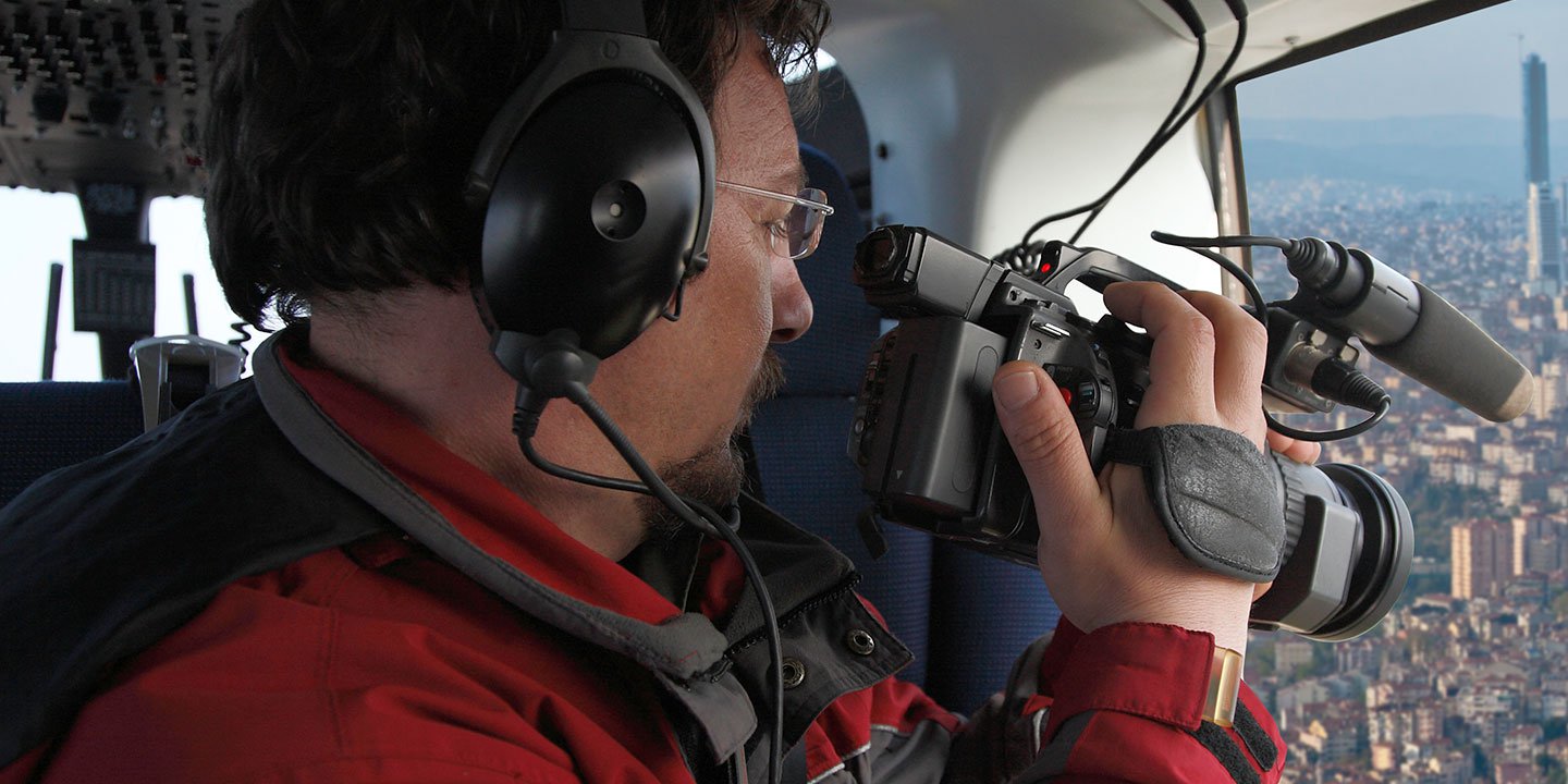
Advanced Aerial Production for Cinematic Excellence
For expert camera work in the Virginia Beach Sky
Get a Fast, free QuoteVirginia Beach Aerial Cinematography
Virginia Beach Helicopter Charters provides unparalleled access to a comprehensive suite of resources for professional-grade aerial cinematography across Virginia. We facilitate custom production shoots by provisioning rotorcraft equipped with the industry's latest technology, including advanced gyro-stabilized camera mounts such as Tyler Mounts, Wesscam, Cineflex, Pictorvision, and SpaceCam. These platforms integrate seamlessly with high-fidelity specialty cameras, including Cineflex HD, RED Epic, and Arri Alexa, alongside capabilities for 3D and experimental camera systems. Whether your vision requires dynamic air-to-air sequences or intricate ground-to-air perspectives, we support every facet of your production goals. Our expertise in aerial photography and motion capture ensures exceptional cinematic results, achieved through close collaboration with your aerial Directors of Photography and production teams. Virginia Beach Helicopter Charters is adept at fulfilling diverse media-related operations throughout Virginia, encompassing feature films, television productions, documentaries, impactful promotional videos, commercials, aerial prop requirements, critical relief coverage for broadcast networks, and comprehensive coverage of historical or major sporting events, all supported by a versatile fleet of helicopters.
Call Us Today at 1-866-826-4826 for a Free Quote
Contact Us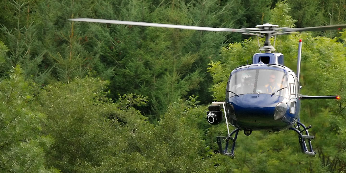
Aerial Photos
Hand-held or Mounted OpTions in Virginia Beach
We will help you get the right equipment for your aerial photography project! Call 1-866-826-4826 today to get a fast, free quote.
The Most Options for Photography
Virginia's stunning landscapes and coastal vistas, from the Chesapeake Bay to the Blue Ridge Mountains, are most effectively captured from an aerial perspective. Virginia Beach Helicopter Charters specializes in provisioning bespoke aerial photography charters, meticulously tailored to transform your creative vision into breathtaking imagery. We offer access to rotorcraft configured for optimal photographic opportunities, including options for door removal to facilitate dynamic handheld shooting. For projects demanding enhanced stability and precision, advanced gyro-stabilized camera mounts are available, ensuring professional-grade results. Our services provide a cost-effective pathway to unparalleled visual content, empowering photographers and marketing professionals to achieve distinctive and impactful imagery across the Commonwealth.
Superior Service
Every one of our customers gets a dedicated helicopter expert to assist with flight plans, tech loadouts, production logistics, project schedules, and other demands.
Over 500 Aircraft
Our network of direct air partners extends well beyond Virginia Beach, Virginia. This allows us to offer a wide range of solutions for even the most sophisticated projects.
The Best Equipment
From high-tech sensors like LiDAR, FLIR, and GIS to HD cameras and movie production gimbals, we're here to make your job as easy as possible.


